


- Home
- News & Events
- Previous galleries
- Teacher galleries 2021-22
- Mrs Steed 2021-22
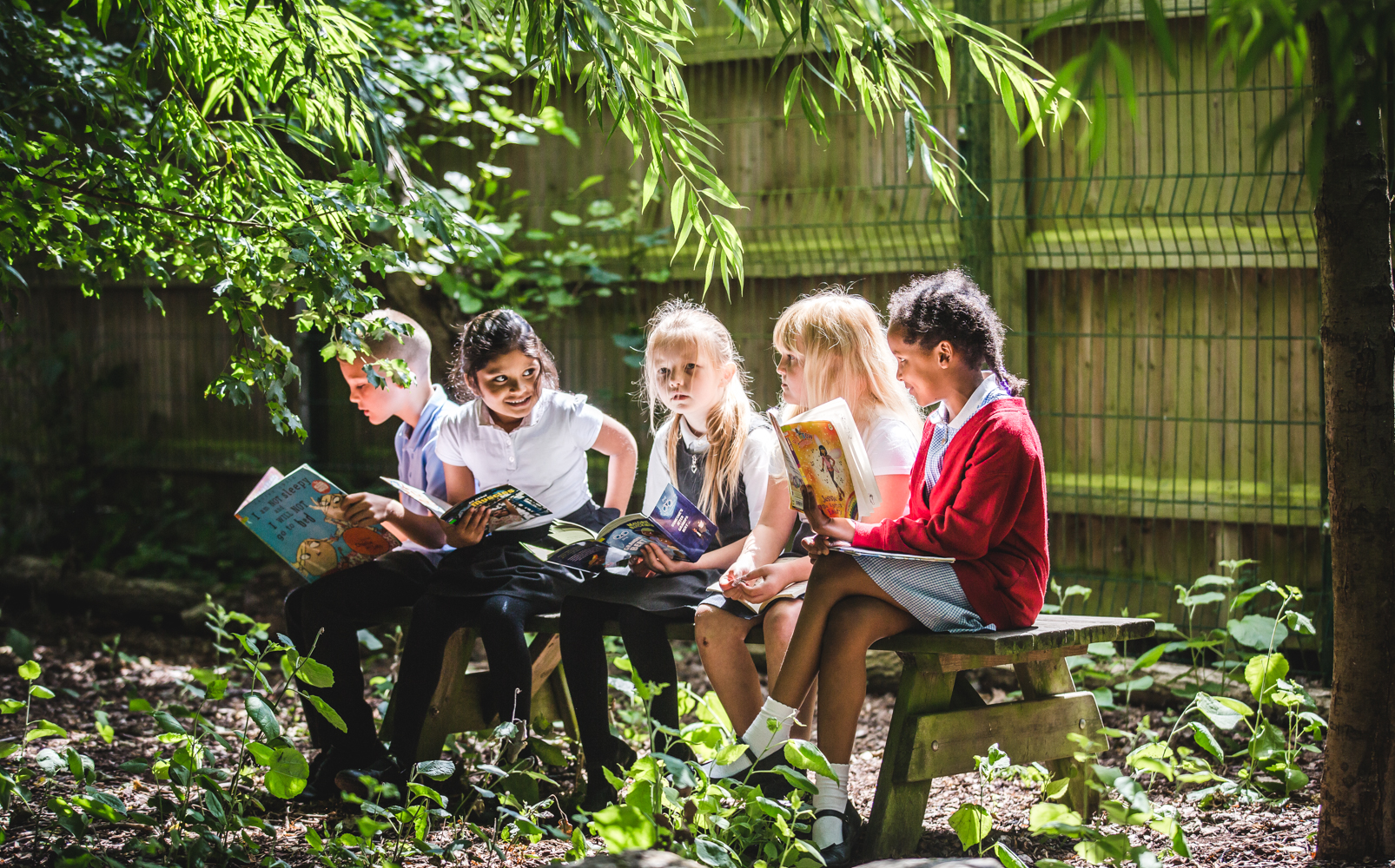
- Our learning in pictures
Creating and reading a local map
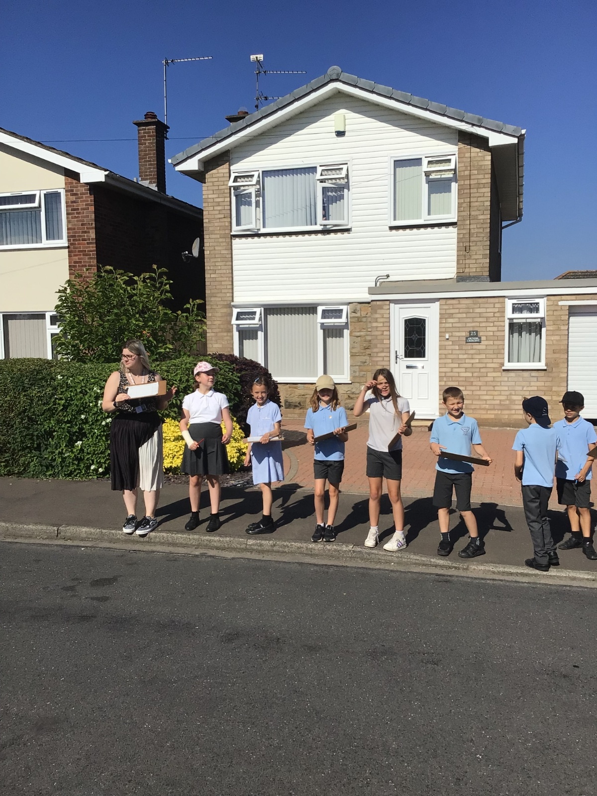
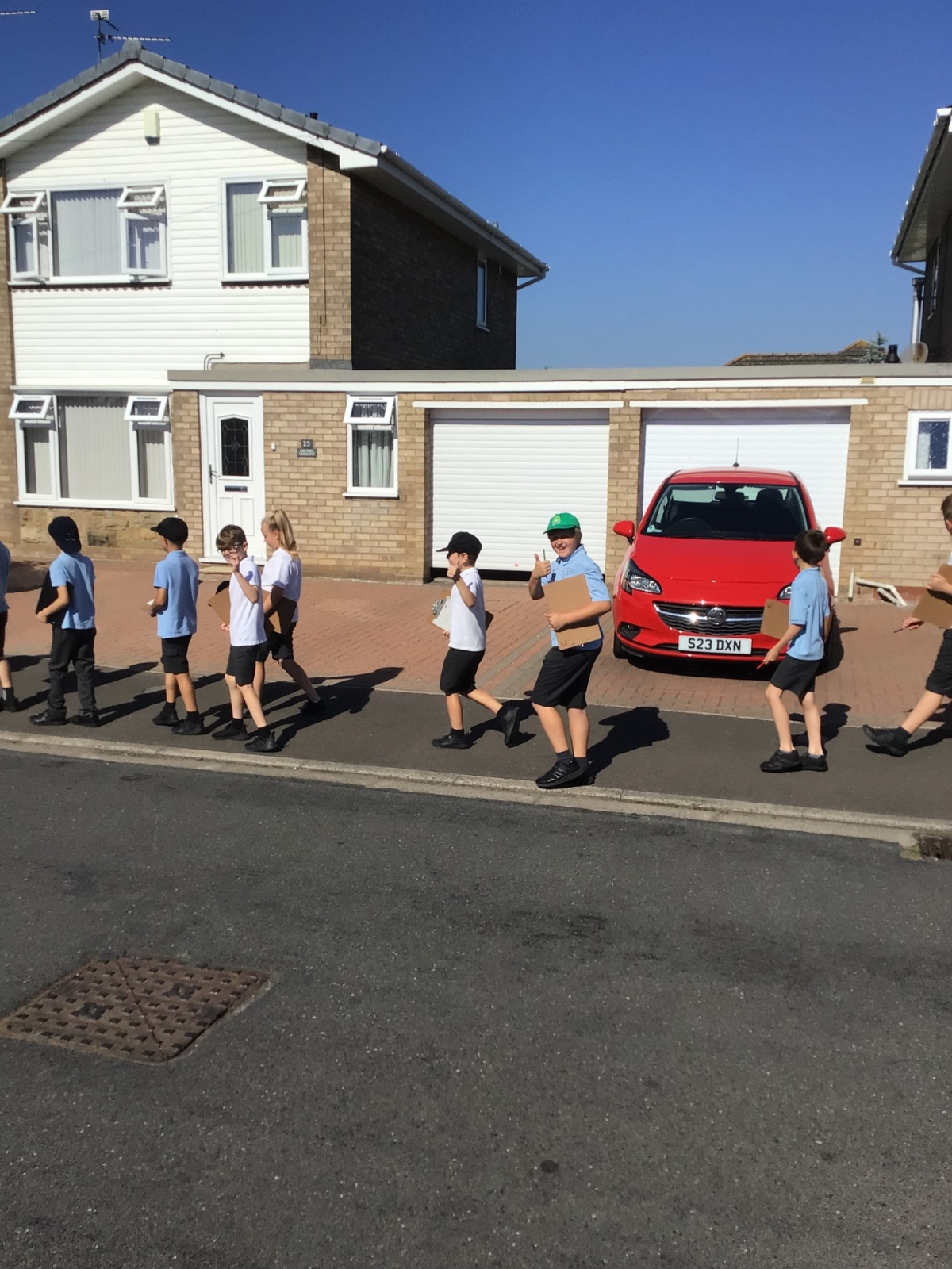
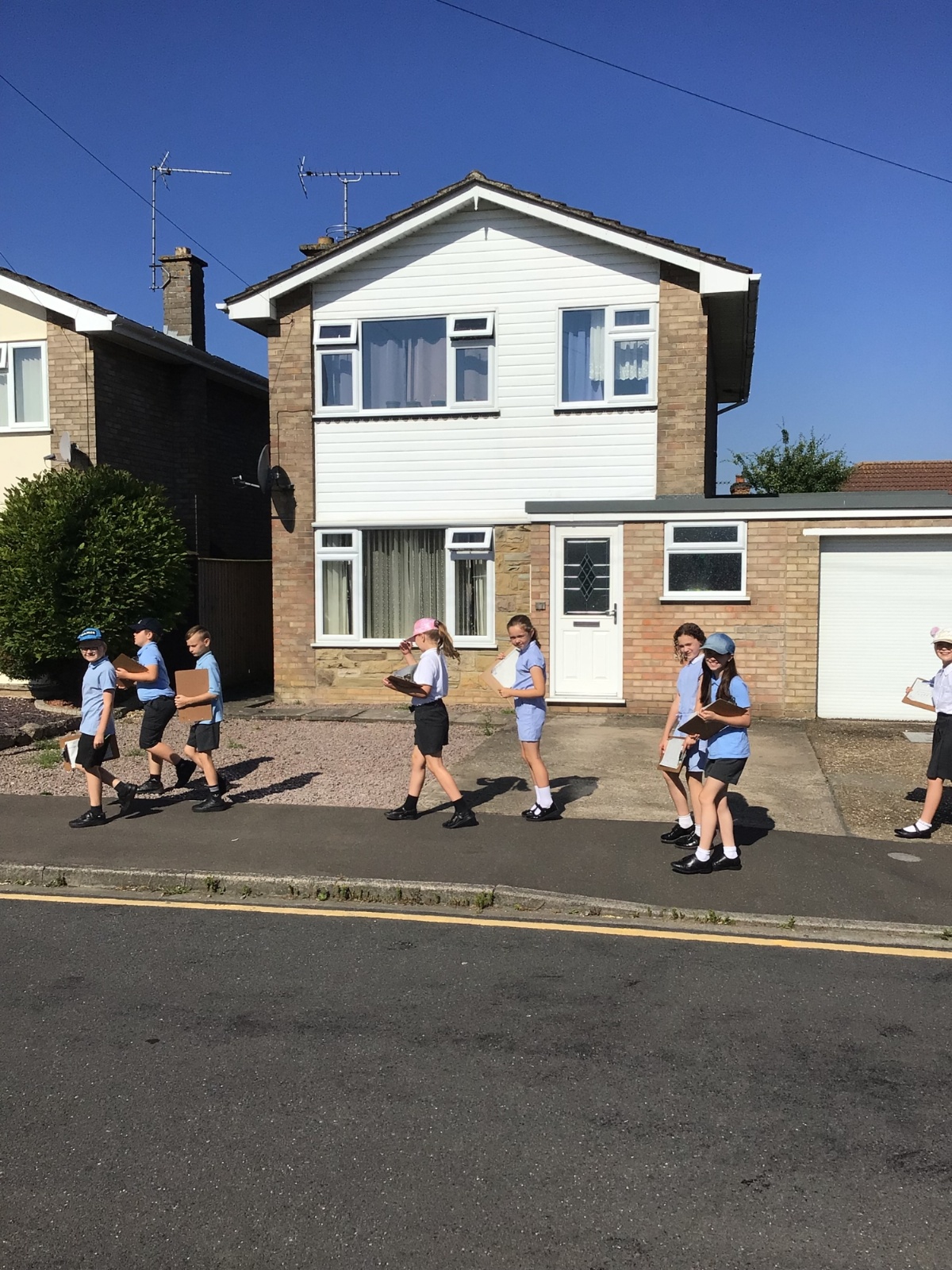
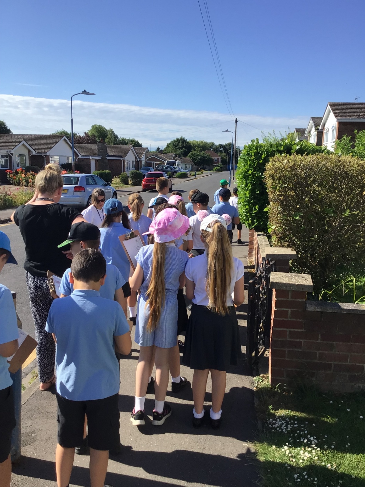
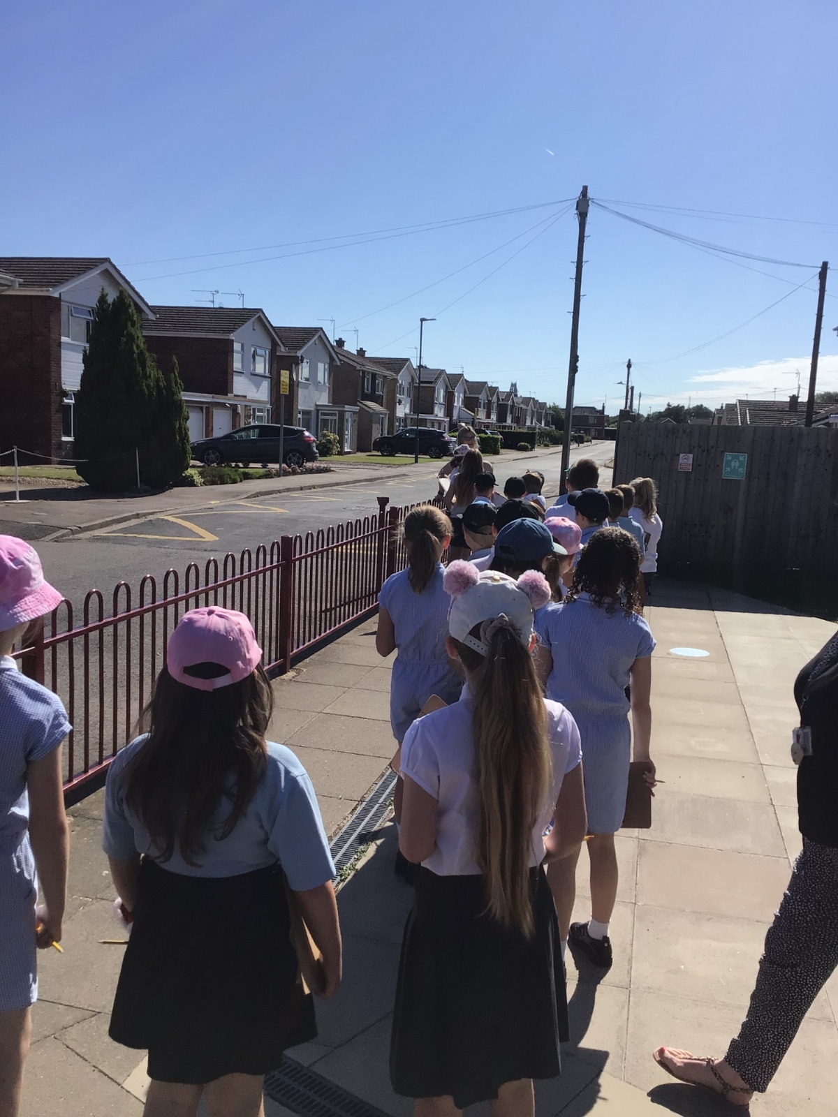
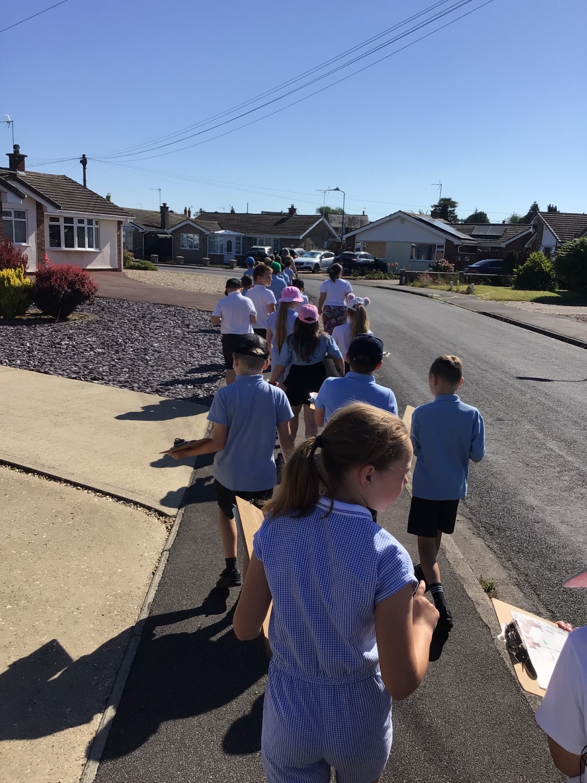
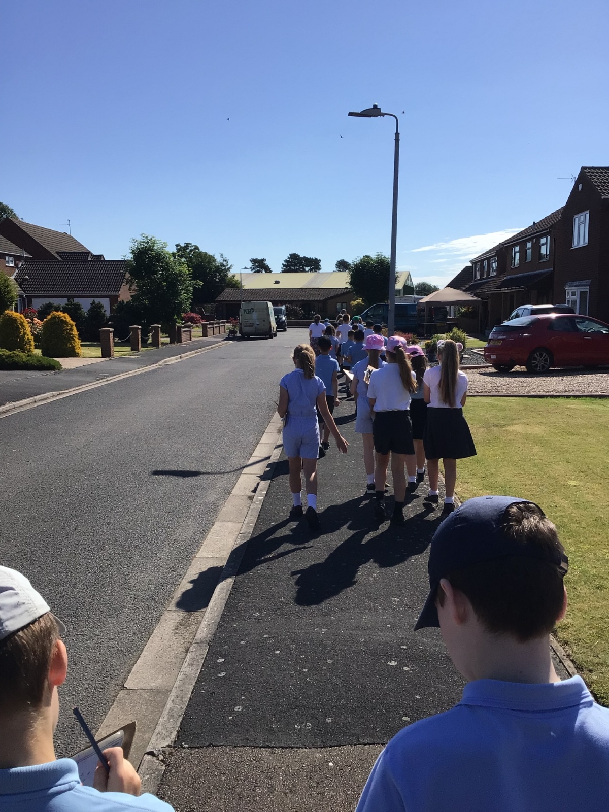
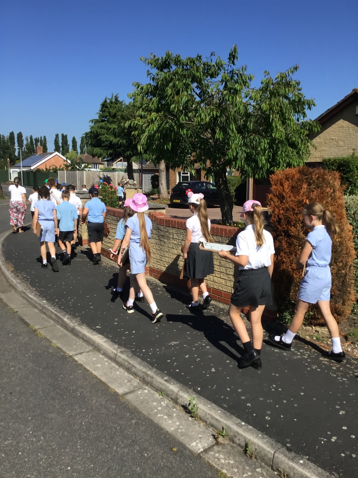
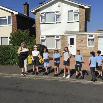
Yesterday, as part of their geography learning and with the aid of Digimap for Schools, Year 4 created a map of the local area around Boston West Academy. They labelled streets, buildings and created a key to represent other features on their map.
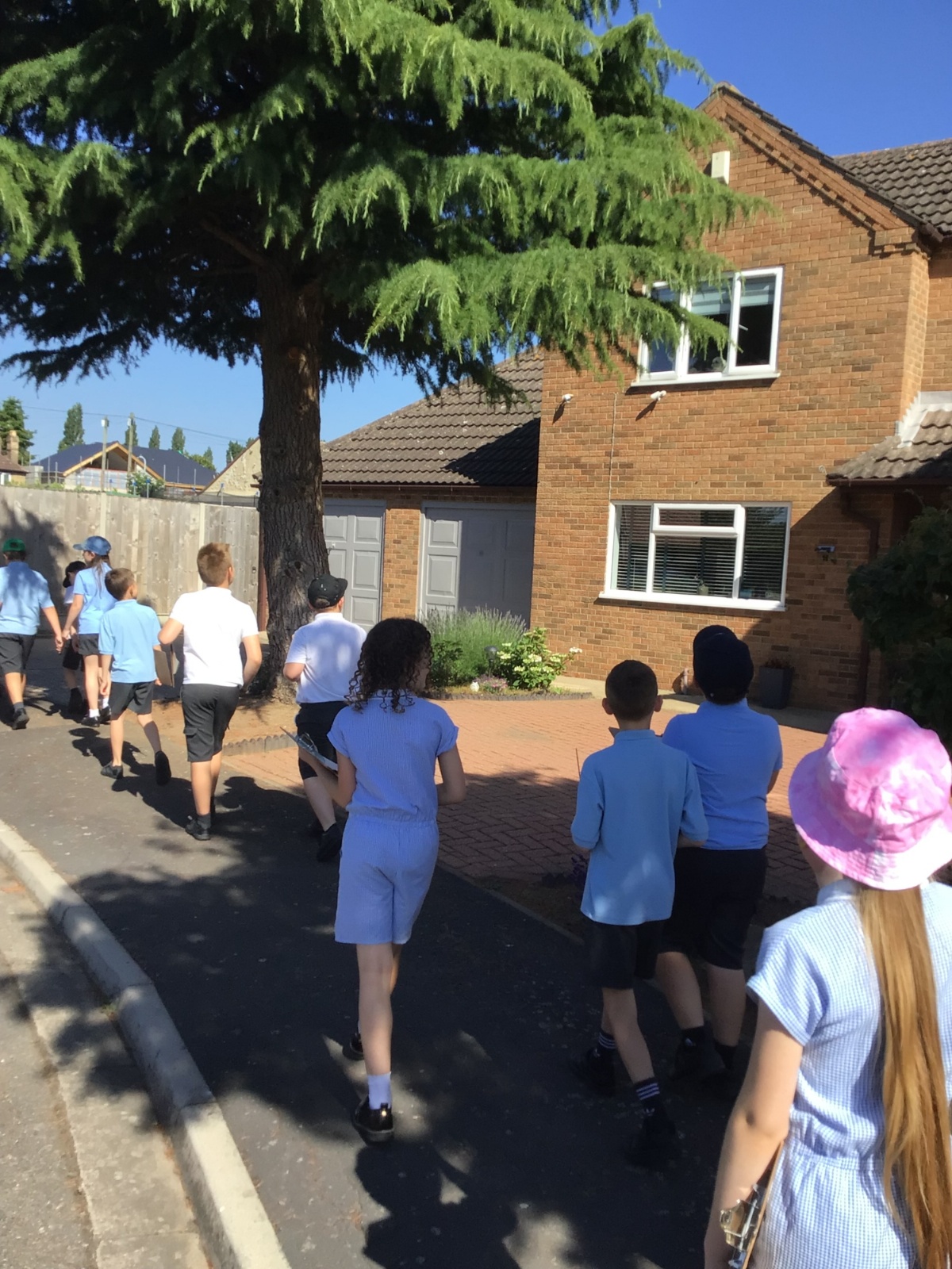
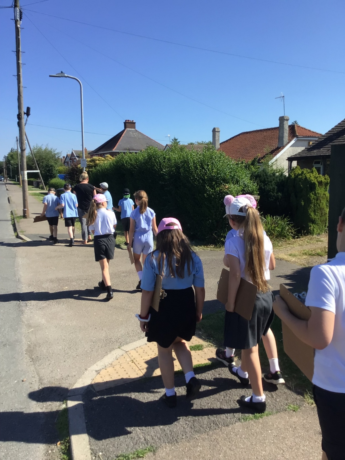
Today, year 4 went for a walk around the local area, following the directions on their maps. The children were also told to look out for a specific feature of the area. For example: yellow flowers, coloured doors or lampposts. When they spotted their selected feature, they marked it on their map.
IMG0845
IMG0845.JPG23704IMG0845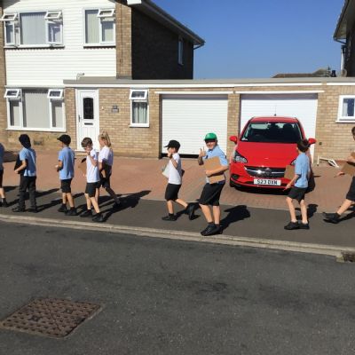
IMG0844
IMG0844.JPG23703IMG0844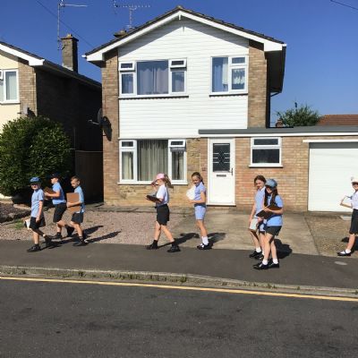
IMG0843
IMG0843.JPG23702IMG0843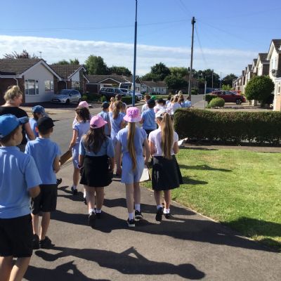
IMG0842
IMG0842.JPG23701IMG0842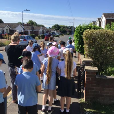
IMG0841
IMG0841.JPG23700IMG0841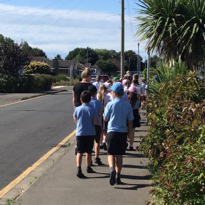
IMG0840
IMG0840.JPG23699IMG0840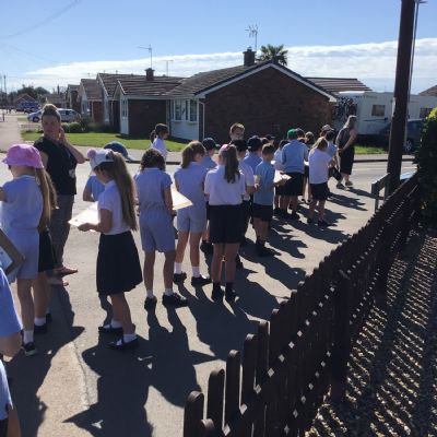
IMG0839
IMG0839.JPG23698IMG0839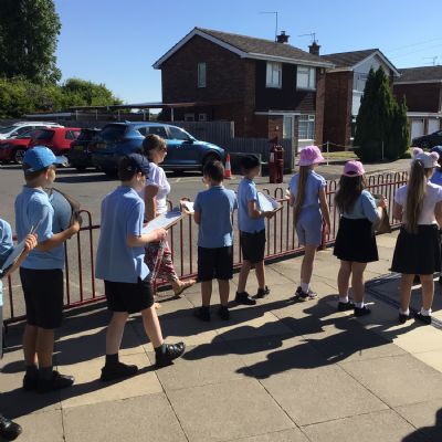
IMG0838
IMG0838.JPG23697IMG0838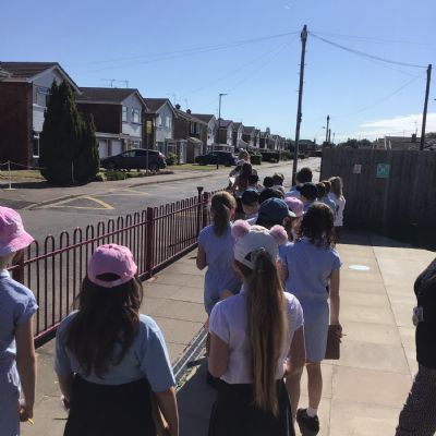
IMG0836
IMG0836.JPG23696IMG0836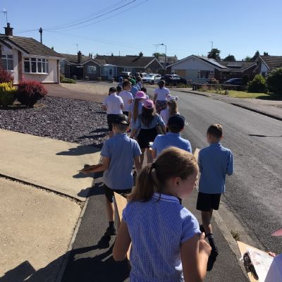
IMG0846
IMG0846.JPG23705IMG0846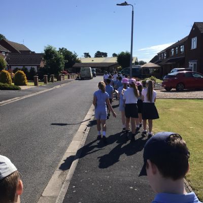
IMG0847
IMG0847.JPG23706IMG0847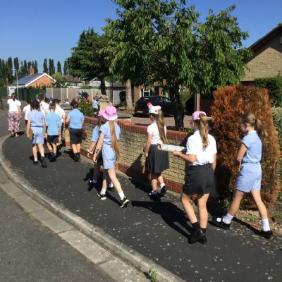
IMG0848
IMG0848.JPG23707IMG0848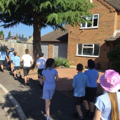
IMG0849
IMG0849.JPG23708IMG0849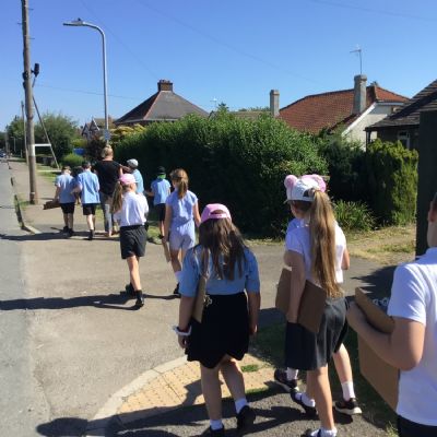
IMG0850
IMG0850.JPG23709IMG0850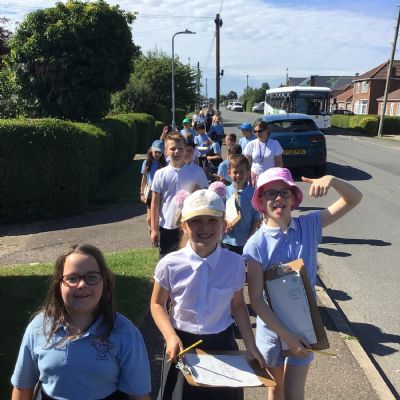
IMG0851
IMG0851.JPG23710IMG0851