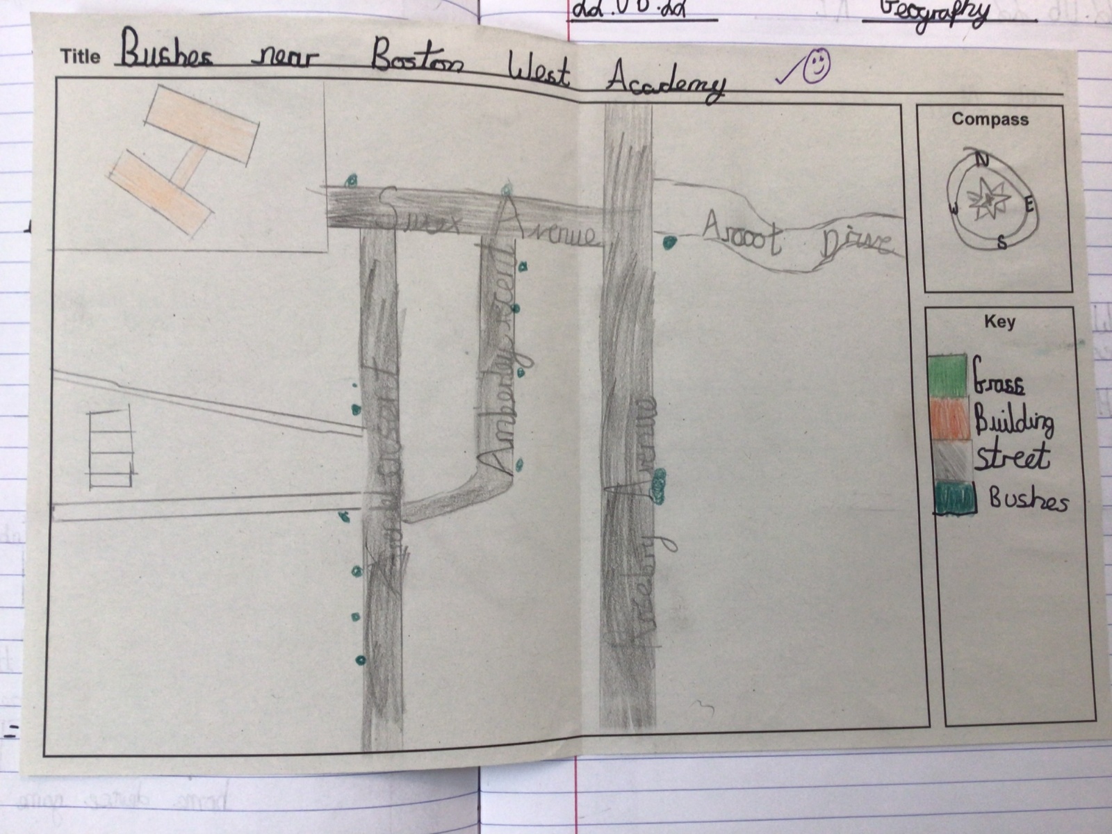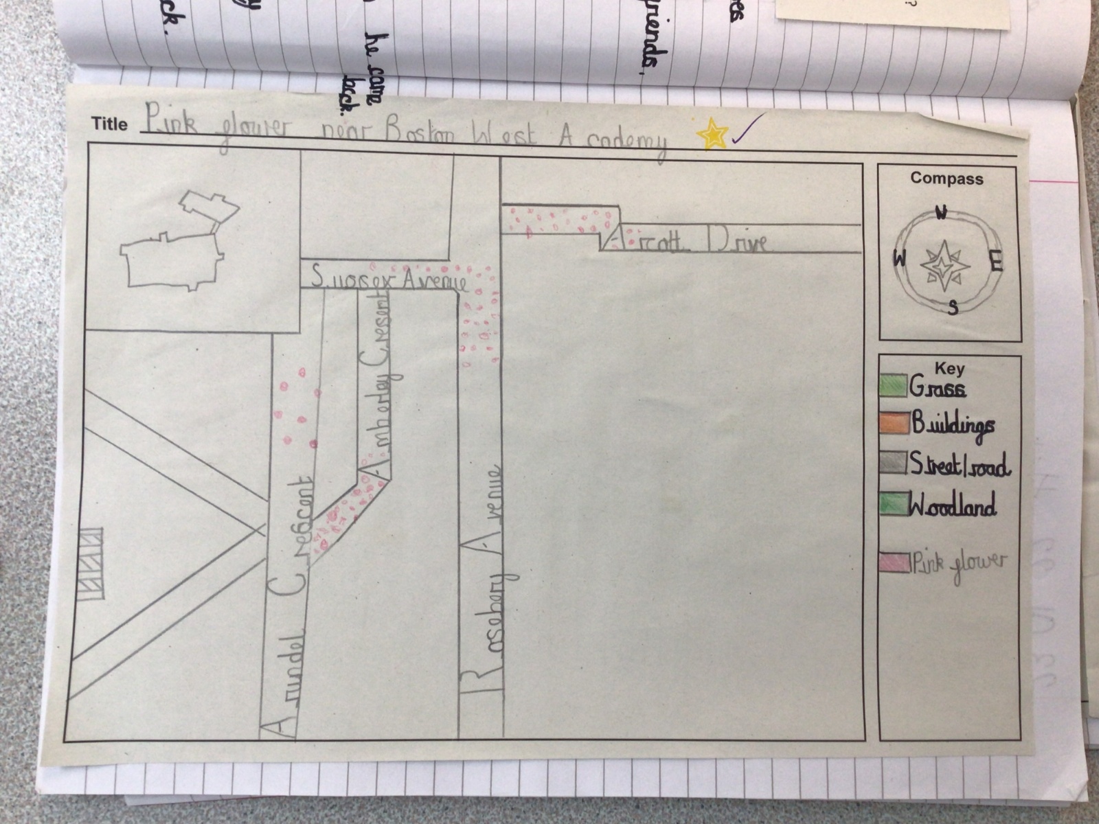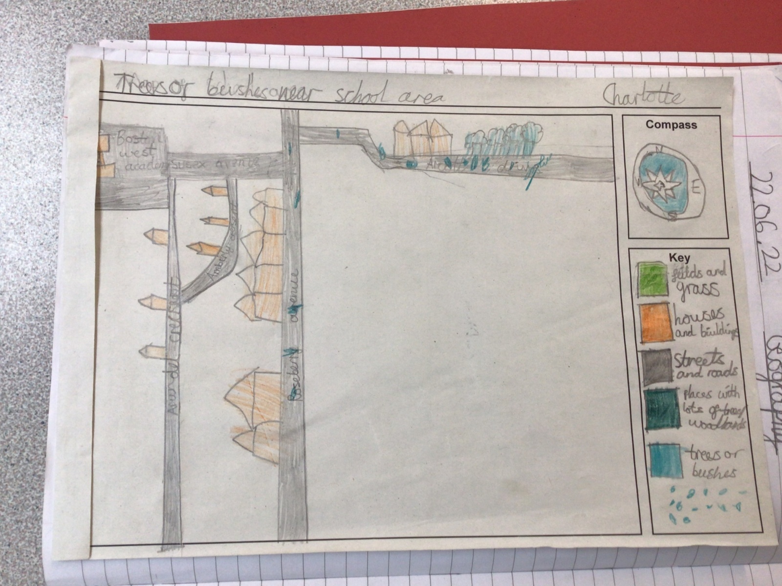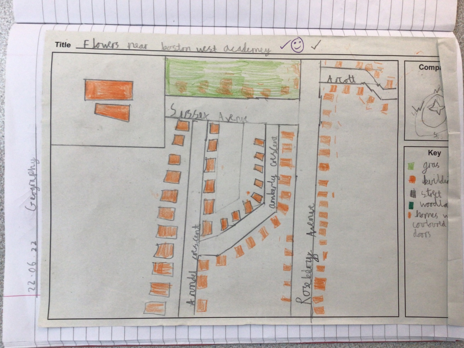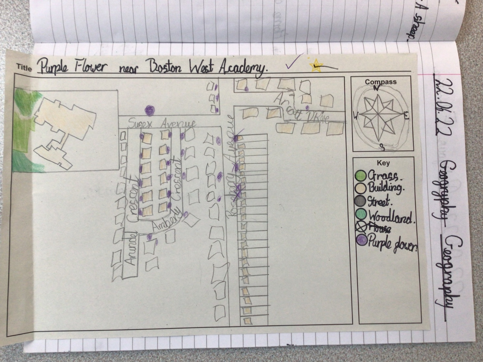


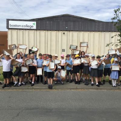
Creating and reading a local map
As part of their geography learning and with the aid of Digimap for Schools, Year 4 created a map of the local area around Boston West Academy. They labelled streets, buildings and created a key to represent other features on their map.
Then, year 4 went for a walk around the local area, following the directions on their maps. The children were also told to look out for a specific feature of the area. For example: yellow flowers, coloured doors or lampposts. When they spotted their selected feature, they marked it on their map.
IMG1321
IMG1321.JPG23711IMG1321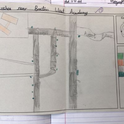
IMG1338
IMG1338.JPG23716IMG1338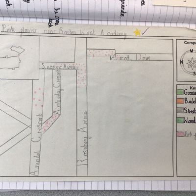
IMG1337
IMG1337.JPG23715IMG1337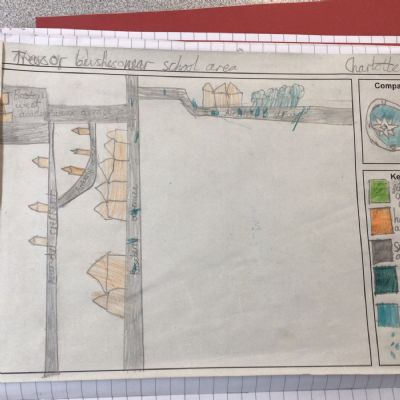
IMG1336
IMG1336.JPG23714IMG1336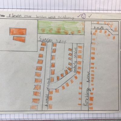
IMG1335
IMG1335.JPG23713IMG1335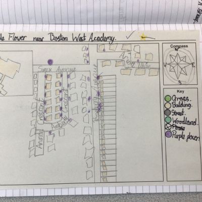
IMG1334
IMG1334.JPG23712IMG1334